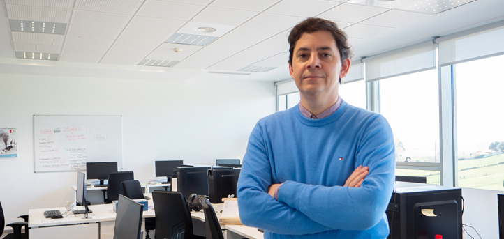
Dr. Vicente Bayarri Cayón, lecturer at the Escuela Politécnica Superior de la Universidad Europea del Atlántico (UNEATLANTICO), has participated in the authorship of a scientific article reporting on the integration of BIM data with georadar and its use in HBIM.
Publication in the Journal of Imaging
The Journal of Imaging (QR2 in the area) published the article “Integrated Building Modelling Using Geomatics and GPR Techniques for Cultural Heritage Preservation: A Case Study of the Charles V Pavilion in Seville (Spain)“. A work elaborated by Vicente Bayarri, and with the collaboration of María Zaragoza and Francisco García, which was the result of a TFG at the Polytechnic University of Valencia.
This article explores the fundamental role of integrating different technologies in the understanding and preservation of cultural heritage, focusing on the Charles V Pavilion in Seville (Spain). This study used a terrestrial laser scanner, global navigation satellite, ground penetrating radar and a building information modeling (BIM) system to derive comprehensive decision-making models for preserving this historic asset.
The models will allow the generation of virtual reconstructions that not only encompass the building, but also its subsoil, which distributes it as augmented reality or online virtual reality. The research delves into complex details of the pavilion, capturing its current structure and revealing information about past floor compositions and possible subsoil structures. The analysis conducted enables stakeholders to make conservation and management decisions, in addition to transparent data sharing that fosters collaboration, collective understanding and practices in heritage preservation.
It should be noted that Dr. Bayarri has a long career in the field of research and publication of articles. He has previously published in the journal Sensors, with the article “A multimodal research approach to evaluate the karst structural conditions of the ceiling of a cave with Paleolithic cave paintings: Polychrome Room of the Altamira Cave (Spain)“, a work prepared by Bayarri and in collaboration with other professionals that alludes to the integration of remote sensing technologies.
In the internationally recognized journal Remote Sensing, in which he participated with the article “A multisensory analysis of the humidity course of the Altamira Cave (Spain): implications for its conservation”, which addresses the complexity of conservation of the UNESCO World Heritage Site of the Altamira Cave.
Link to the article: Integrated Building Modelling Using Geomatics and GPR Techniques for Cultural Heritage Preservation: A Case Study of the Charles V Pavilion in Seville (Spain)


